15 Maret 2022
Established by a presidential proclamation by President Bill Clinton, on November 9, 2000. Vermilion Cliffs National Monument was carved from existing lands already under the management of the U.S. Government in extreme northern Coconino County, Arizona, immediately south of the border with the state of Utah.
Editor: Parangsula
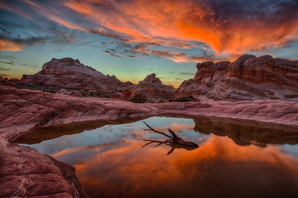
Featured image: Vermilion Cliffs – MowryJournal.com
References:
National Monument detail table as of April 2012.
Bureau of Land Management. Retrieved 2012-12-27.
THE MONUMENT is administered by the U.S. Bureau of Land Management, an agency within the U.S. Department of the Interior. The Vermilion Cliffs themselves run along the southern and eastern edges of the monument. Much of the monument’s land consists of the Paria Plateau, a flat area extending northward from the tops of the cliffs.
Vermilion Cliffs National Monument is located in northern Coconino County, Arizona, United States, immediately south of the Utah state line. This national monument, 293,689 acres in area, protects the Paria Plateau, Vermilion Cliffs, Coyote Buttes, and Paria Canyon. Elevations in the monument range from 3,100 feet to 6,500 feet above sea level. (*)